Over 10,000 aircraft streaming across a night-lit planet — real city lights, a true day/night line, and comet trails on every route. Spin it, time-lapse it, or zoom into satellite detail.
Download on the App Store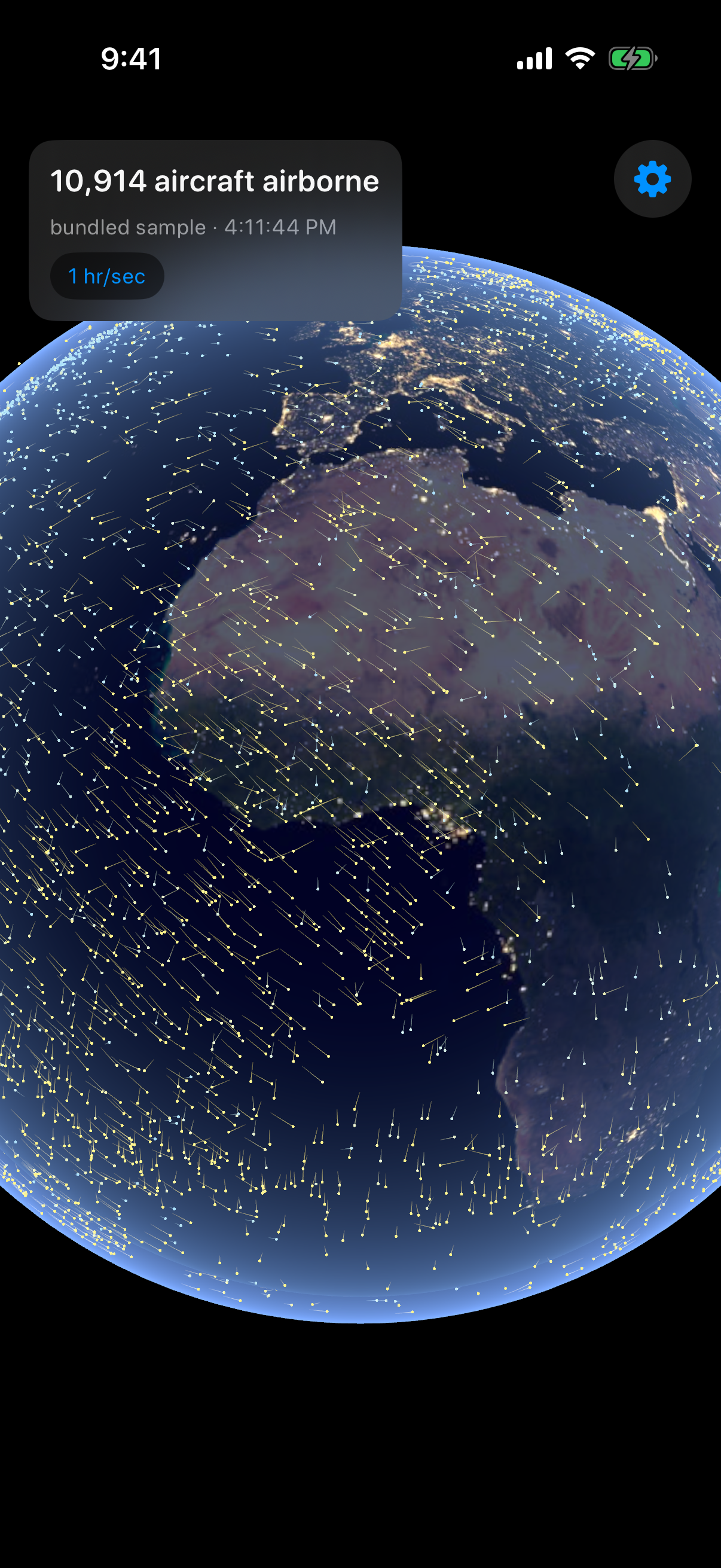
Callsign, aircraft type, registration, altitude, speed, the full route with airport names — and live weather where it's landing.
Slide from Live to an hour of flight per second and watch global traffic flow like weather — takeoffs, landings, rivers across oceans.
Pinch in and the globe becomes crisp satellite imagery — runways, coastlines, your neighborhood — with 47,000+ airports labeled and tappable.
A flight number, a tail number, or just “Lufthansa” — see every match overhead right now and fly straight to it.
The Miracle on the Hudson, the Gimli Glider, and an endless shelf of aviation history — animated on the globe, with real ATC recordings where history kept them.
One tap spins the globe to your sky. Emergency squawks glow red. Filter airlines, private jets, or military. Cinema mode turns it into living art.
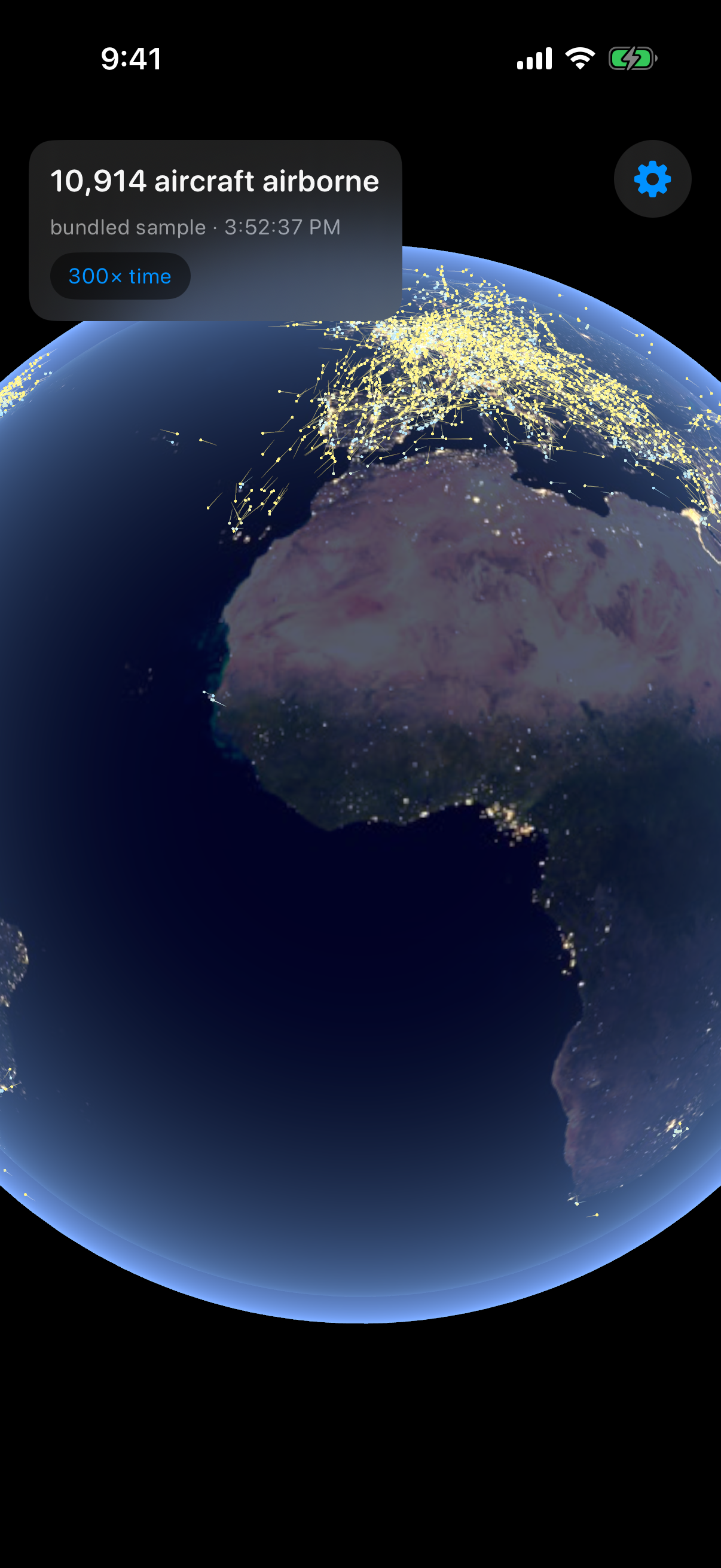
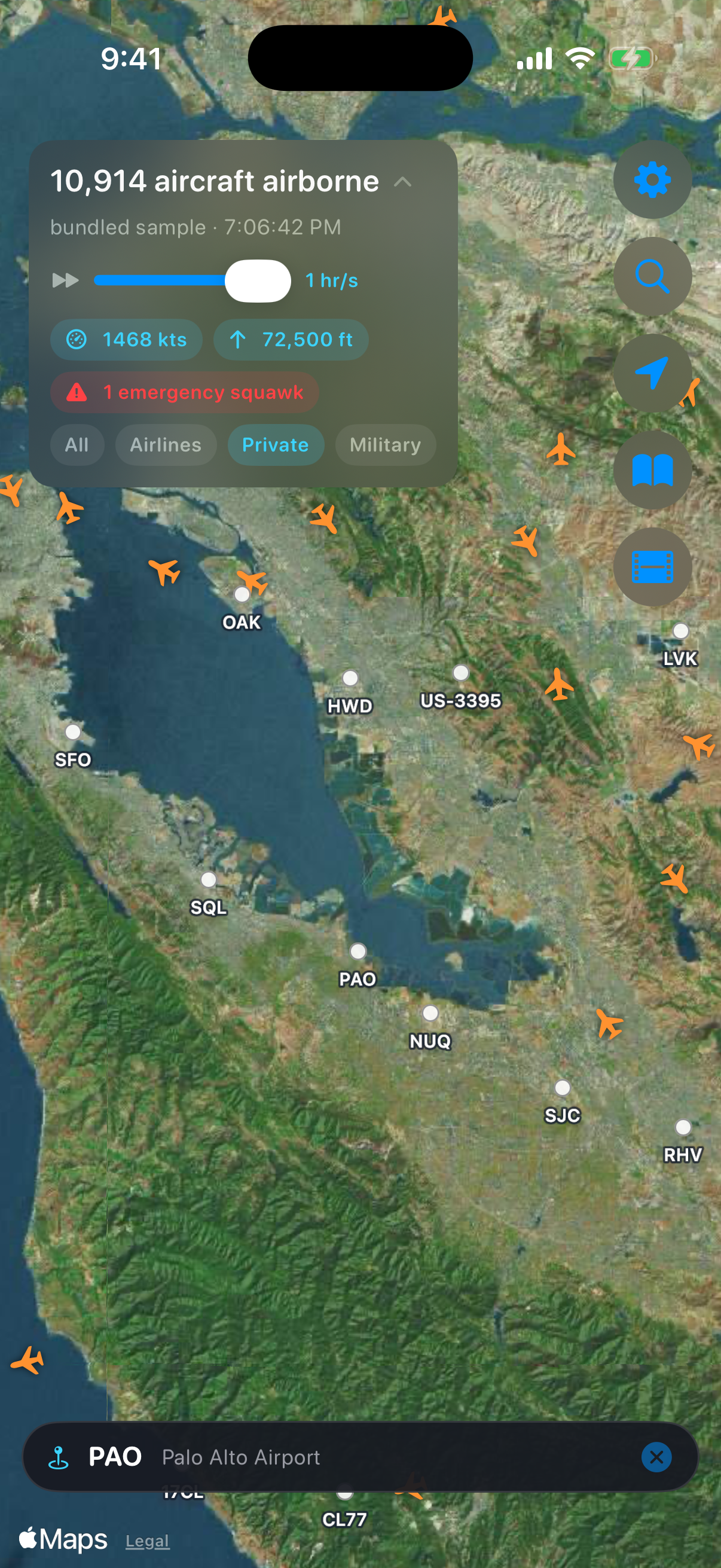
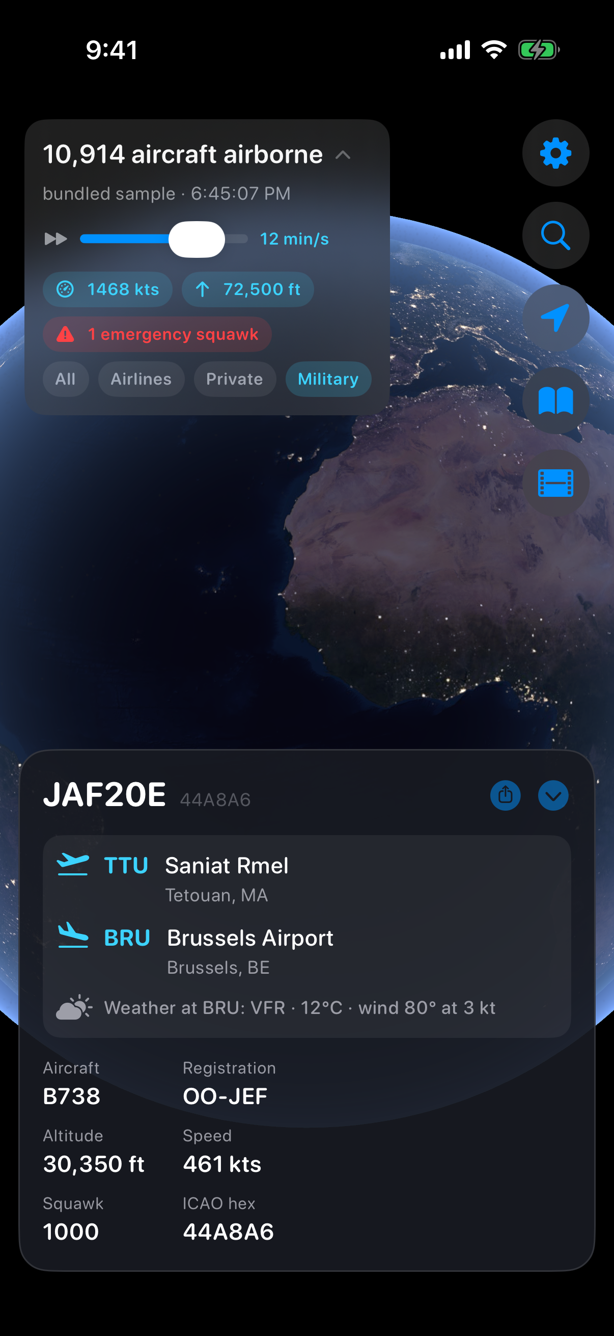
Development screenshots — final App Store imagery coming with launch.
Flight data from the OpenSky Network and the adsb.lol community · Weather from aviationweather.gov · Story text from Wikipedia (CC BY-SA) · ATC audio from public-domain FAA recordings via Wikimedia Commons.
 Flight Live